On earth and in space: Altai State University environmental students learned to protect the forest during practical training
Students from the Institute of Geography completed an internship at the Forest Protection Center of Altai Krai. They mastered space monitoring techniques and conducted ground-based observations of forestry.
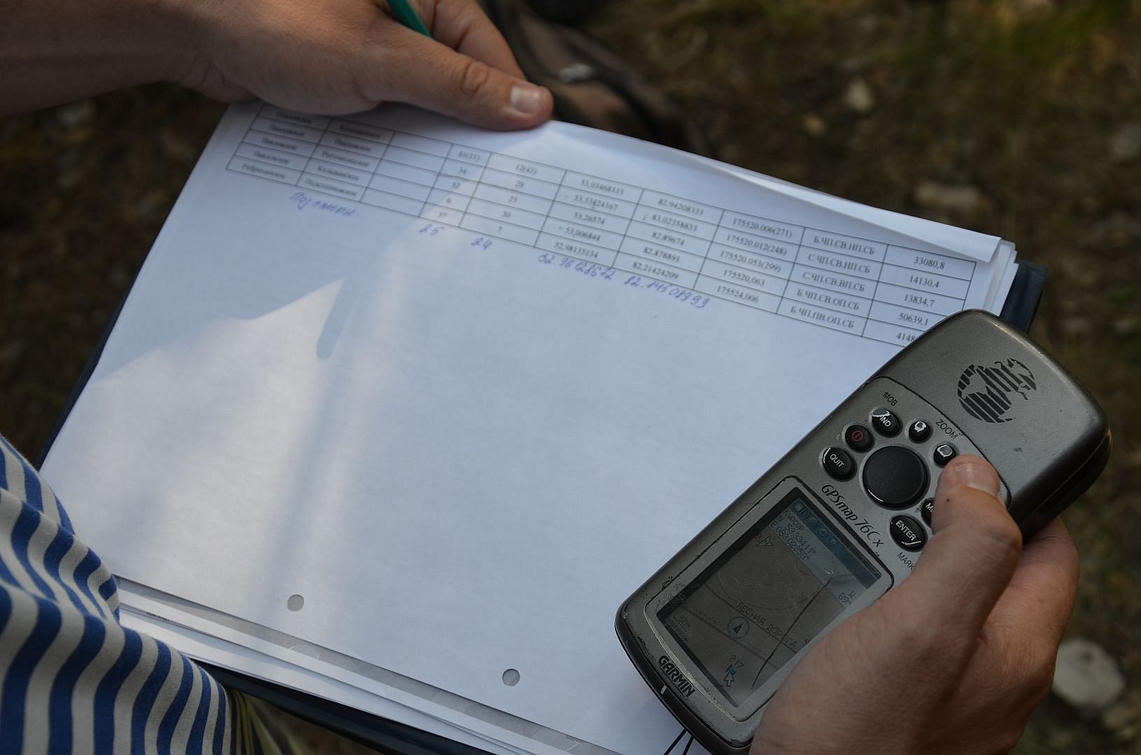
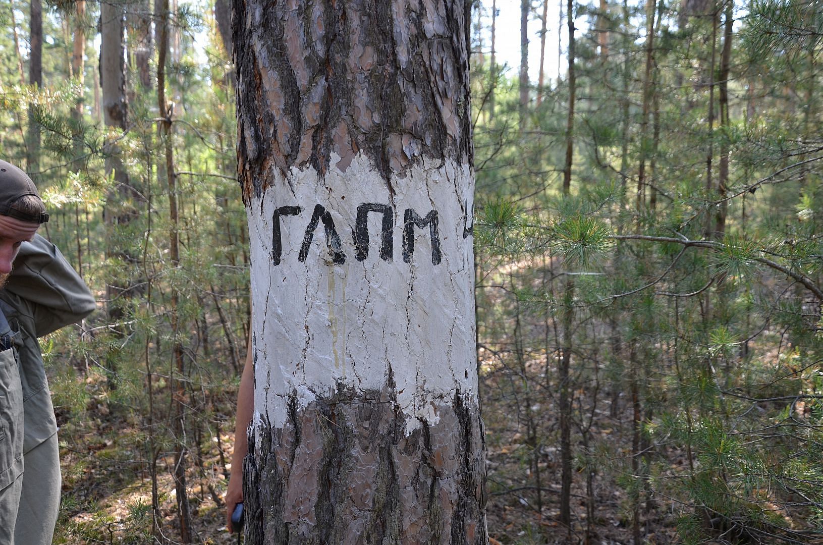
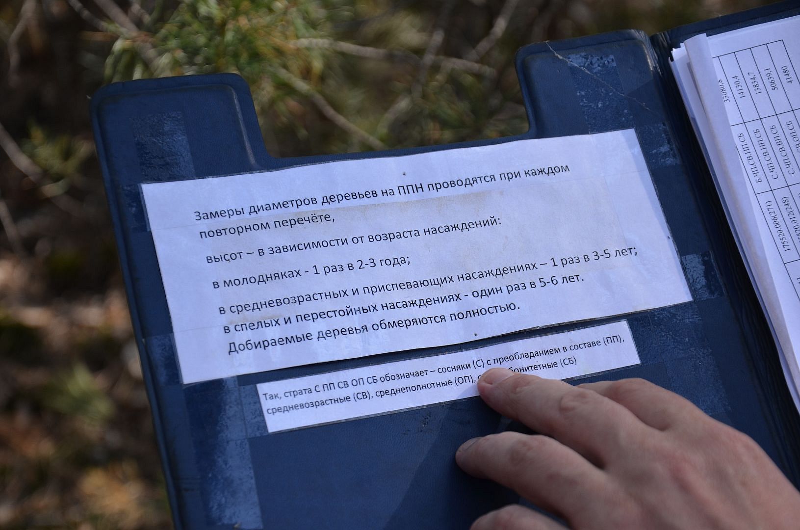
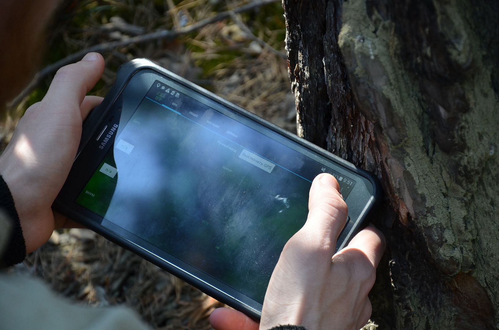
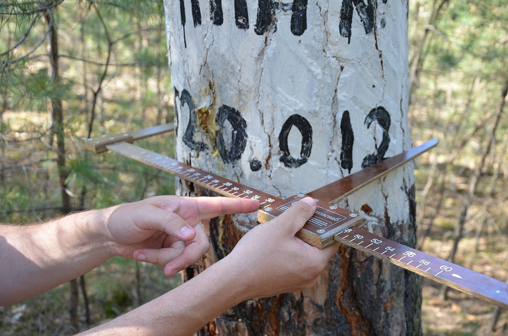
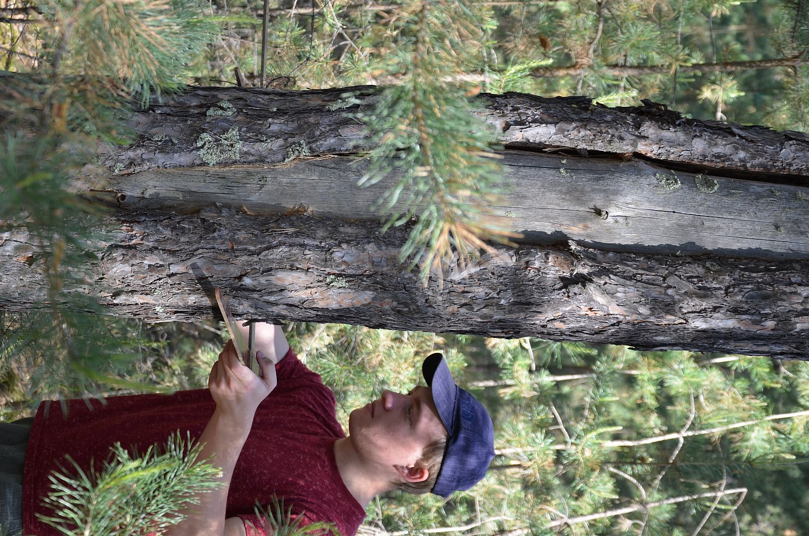
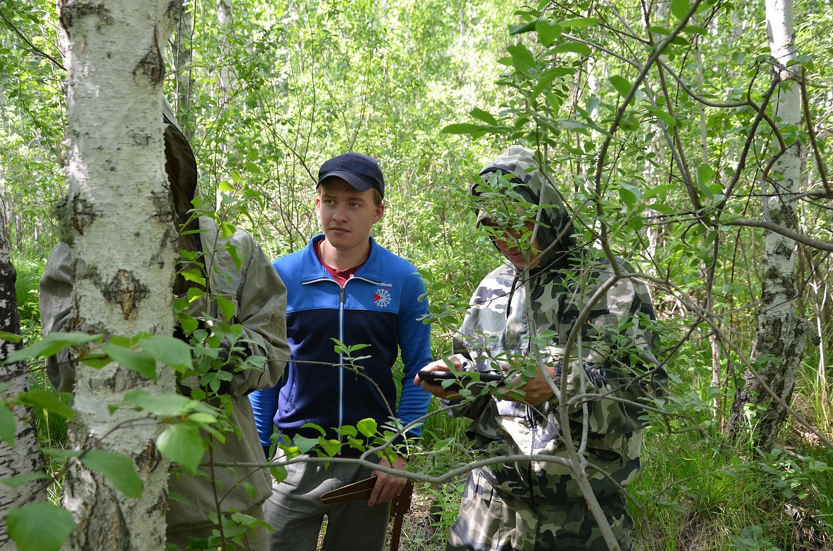
One group did an internship at the Department of Forest Protection and State Forest Pathological Monitoring. The trainees took part in field work on regular ground-based observations of the sanitary and forest-pathological state of forests, reports the website of the Central Forestry Center of Altai Krai. Students, as part of a group of forest pathology engineers, checked permanent observation points in the Rebrikha forestry of Altai Krai, where they demonstrated their skills in using a calliper, an altimeter, and also entered the measurement data into a special program on a CZL-DF tablet computer.
 Elizaveta Ignatenko, a 3rd year student in the field of ecology and environmental management, says:
— It was important for me to go to the Forest Protection Center, since the topic of my diploma is devoted to forest pathological monitoring. The information was presented in a very accessible and interesting way. There was an opportunity to take very good data to work with. A field trip was also carried out to the areas of the Rebrikhinsky and Pavlovsky forestries. This trip helped me understand in more detail the structure of state forest pathological monitoring in Altai Krai. Do I advise students to do an internship there? Definitely yes!
One more student did his internship at the Department of Remote Sensing and Geographic Information Systems. Department employees gave a training lecture with elements of practical tasks on working in specialized software for constructing maps and interpreting space images QGIS.
The next stage of the practice included downloading satellite images from existing open data sources, linking raster maps, interpreting images for various damage to forest areas, and identifying areas not occupied by forest plantations.
As a result, the geographer gained skills in working with satellite images and specialized programs and collected information for writing his diploma.