Scientists of Altai State University and Sarsen Amanzholov East Kazakhstan University are working on a project on precision farming
As part of the trip, an agreement was signed between AltSU and EKU on a network form for the implementation of the master's program "Agromonitoring and sustainable development of territories." It was included in the pool of educational projects of the Priority 2030 Program. As part of the program, the online course "Automatic measurement tools and data analysis" will be implemented, developed by Andrey Bondarovich, an associate professor of the Department of Economic Geography and Cartography, INGEO, and Elena Ponkina, an associate professor of the Department of Theoretical Cybernetics and Applied Mathematics, IMIT.
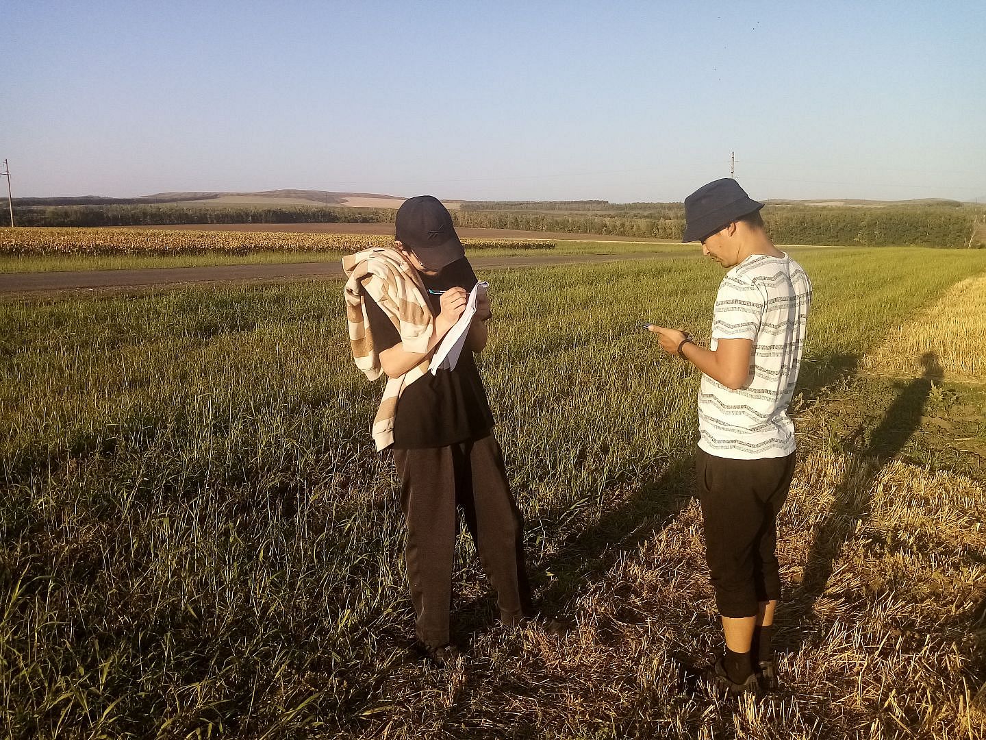
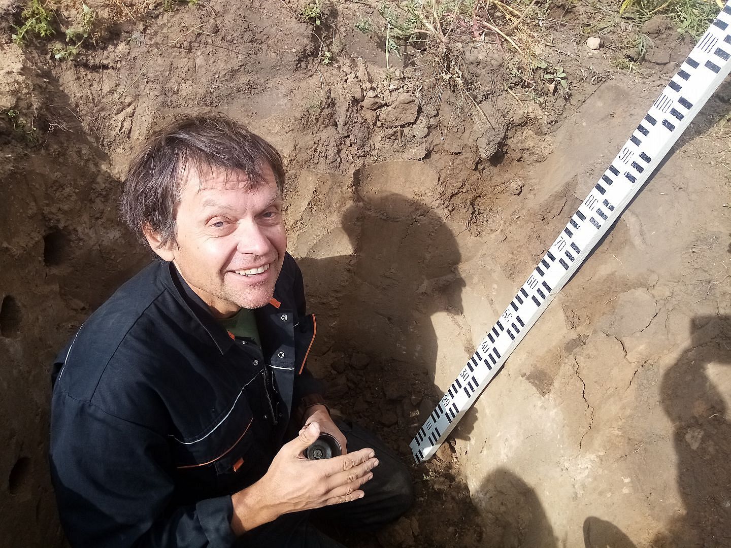
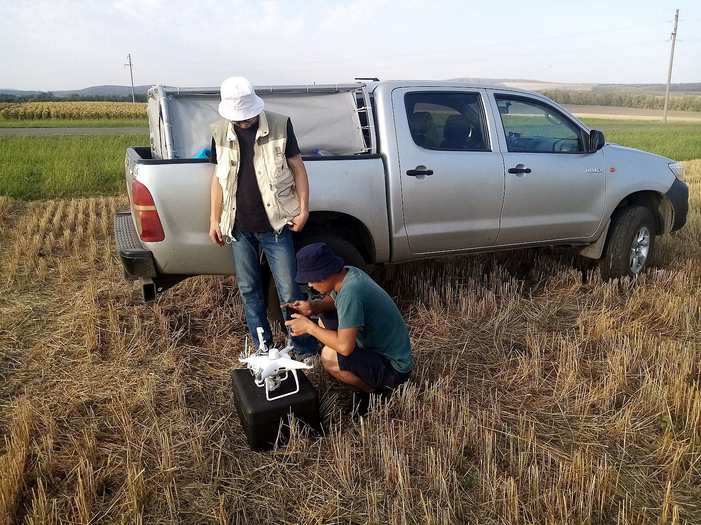
The second purpose of the scientist’s visit to Ust-Kamenogorsk was to work within the framework of the project “Research and development of innovative technologies for precision farming based on the industrial Internet of things”, which AltSU has been implementing together with EKU since 2020. Andrey Bondarovich was invited to Kazakhstan as an expert in soil hydrology. The scientist was engaged in field research, took soil samples for agrochemical analysis. He held a master class for undergraduates of the EKU, where he spoke about the methods and tools used in this work.
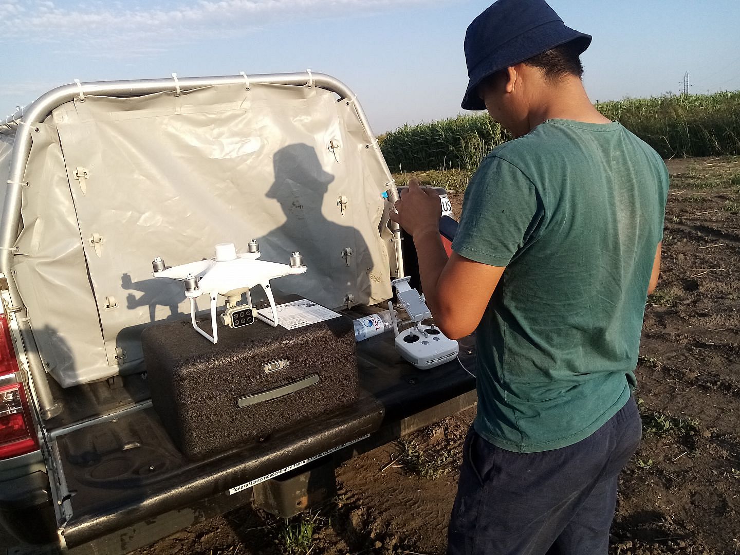
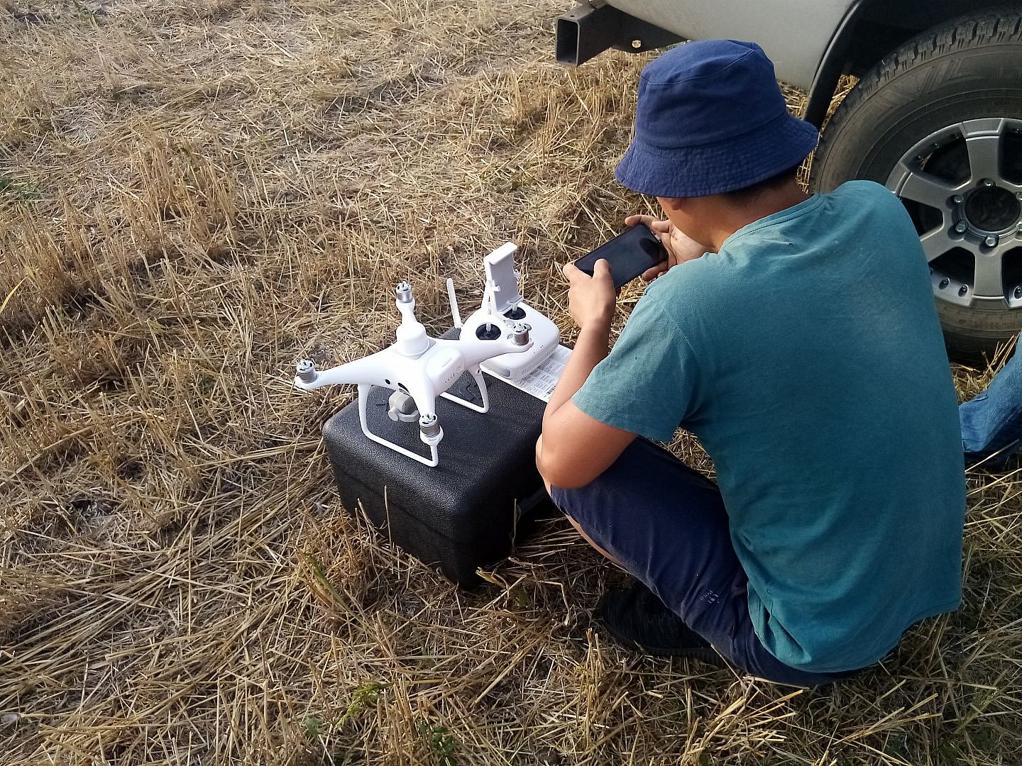
“Precision farming has been developing in the world for the last 20 years. This is an agricultural management system aimed at reducing production costs, improving the quality of the crop. Let me briefly explain: in different parts of the same field, a crop can grow in different ways. Somewhere very well, but somewhere badly. We take satellite images of this field for several years, which show fertile and infertile areas, and analyze them. Then we conduct research directly on the soil: we determine various agrochemical parameters in order to understand the reason for a low yield. And then we make an electronic map of soil fertility. It can be downloaded to the navigation devices of agricultural machines in order to regulate sowing or laying fertilizers depending on the condition of the site,” Andrey Bondarovich said.
Altai State University also implements a project with a similar theme "Monitoring and evaluation of elements of carbon and water balances as factors of sustainability of agrocenoses" with the support of the "Priority 2030 Program" under the leadership of Andrey Bondarovich.